"He who learns but does not think, is lost! He who thinks but does not learn is in great danger."
-Confucius

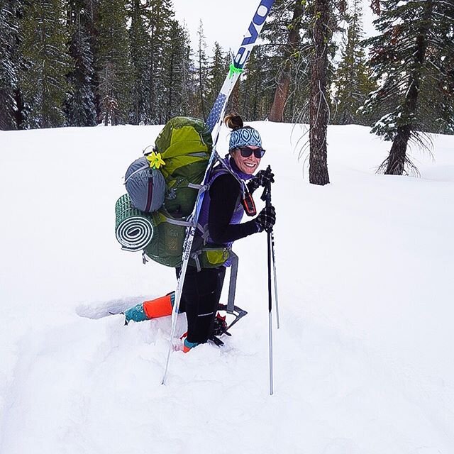
Always keep your Garmin inReach device On, within reach and pointing towards the clouds when you are on the trail.
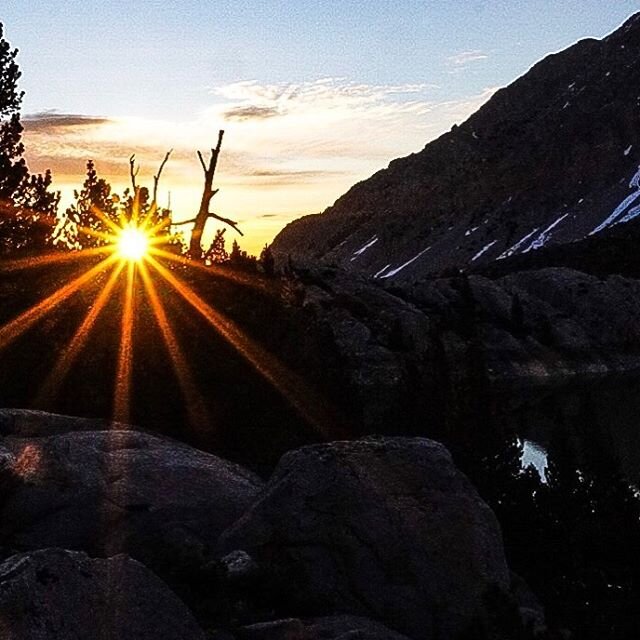
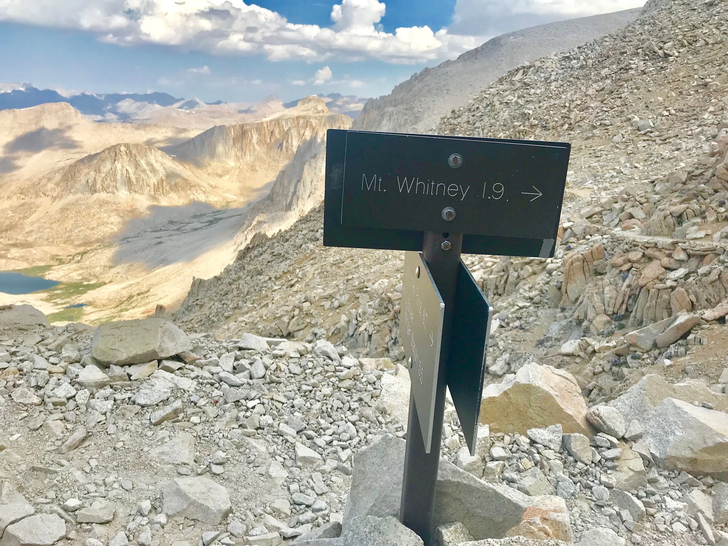
On Sunday, July 8, I experienced a multitude of harrowing events (being left alone, lightning storms, fires, and bears) while hiking Mt. Whitney in the Eastern Sierras that resulted in me sending an SOS signal via my Garmin inReach, for the first time ever. After writing about my experience, I received quite a few questions on the logistics of activating the emergency signal.
- "What happened when you activated it?"
- "I didn't know you could activate unless your life was in imminent danger"?.
- "What did the emergency response center tell you to do"?
- "Were you nervous"?
- "How long did it take until you received a response"?
- "Did they charge you"?
Although, I was able to safely hike out alone, knowing that I was in communication with the International Emergency Rescue Coordination Center in regards to the direction of the Georges fire, gave me reassurance that I could safely exit the Mt. Whitney trail without coming in contact with the fire.
What are satellite messengers and how do they work?
For the full description and comparison, visit my blog post on SOS and communication devices. These handheld devices, such as those from SPOT and Garmin are 2-way communication devices that allow you to send messages to an emergency responder and receive messages back. Satellite messengers are GPS-based devices that rely on either of 2 commercial satellite networks, Iridium or Globalstar, rather than the military network used by PLBs (this is why there is a monthly subscription). Besides the two-way communication, these devices also allow you to send preset text messages to your contacts, link your coordinates to your social media, download maps and they can also be used as a navigation device; fancy right?
Activating the SOS button
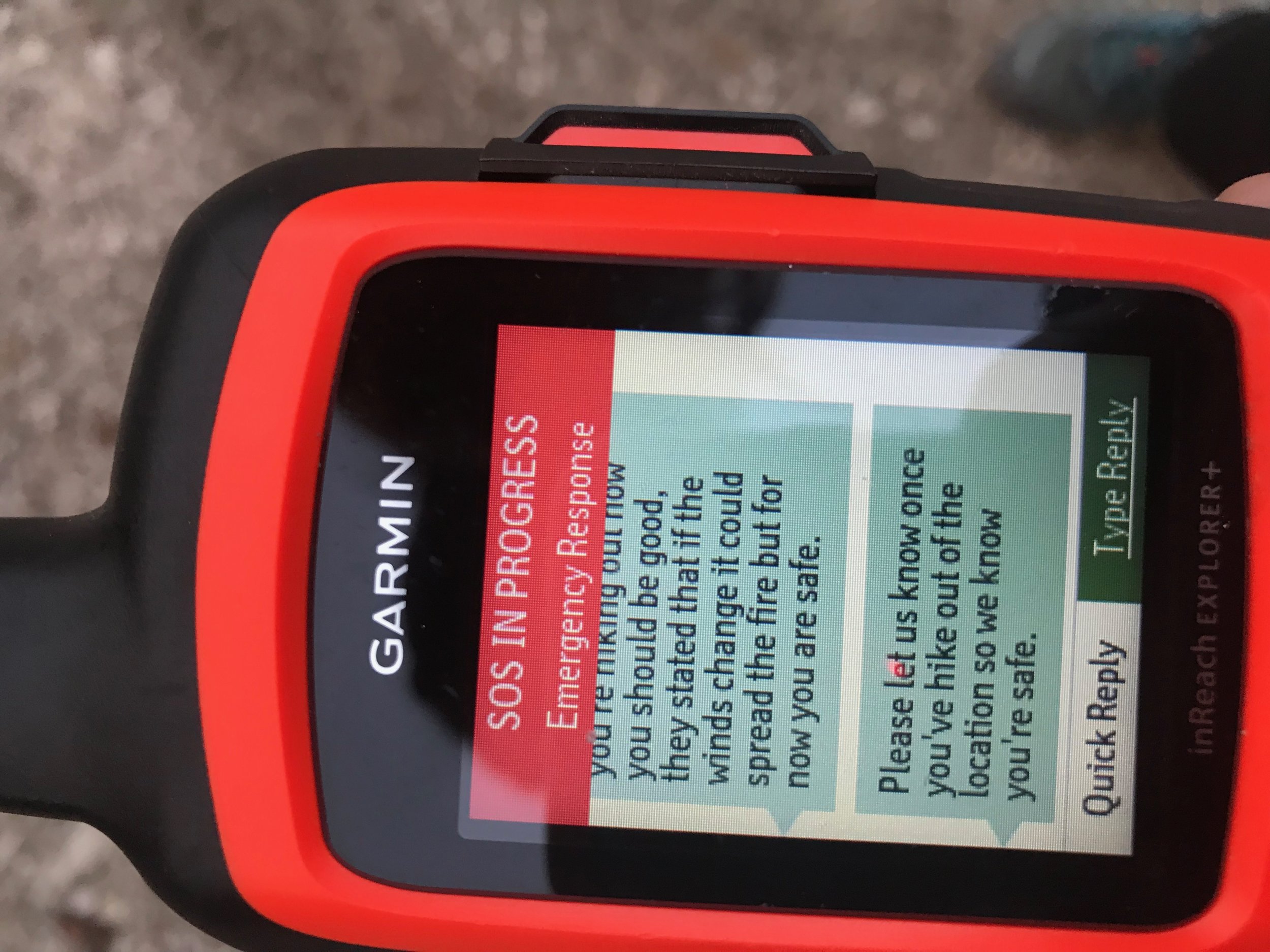
During an emergency, you can contact the GEOS International Emergency Rescue Coordination Center (IERCC) to request help. This center picks up your coordinates and after communicating with you, sends a message to the appropriate emergency service response team in your area. Pressing the SOS key (lift the cover on the side of the device and hold down the SOS button) sends a message to the rescue coordination center. I made the decision to activate the SOS signal because I was unsure where the fire was located and if I was able to hike out safely. I saw the lightning that initiated the fire while I was hiking down Mt. Whitney on the switchbacks in a lightning storm and once I was within 2-3 miles of the Whitney Portal trailhead, I noticed the sky was covered in thick smoke and ash, and I was unsure where the fire was or if it was safe to continue hiking. Once I held down the SOS key a loud noise on the device coupled with a 20-second countdown began. I thought to myself, “this just got real”. During this countdown, you have the option to immediately cancel this SOS signal however I was confident that I needed to know safety information in regards to the fire. Was I nervous? Yes. The first message that automatically sent once the countdown ended was “I have an emergency, and I need you to send help”. All I could think was, “oh geez I hope they do not automatically send a helicopter!” Within one minute, I received a text message on my Garmin inReach stating they have received my SOS signal and they asked if I was alone. I responded “yes”. I started to type my reasoning for contacting them, to realize that I had to type out each individual letter by moving the cursor and selecting the letter in order to make each word (think back to those old school Nokia phones) and this was painfully taking me forever and my spelling and grammar were unbearable. I finally explained, in terrible spelling, that I was 2-3 miles from Whitney portal and I spotted a fire and needed to know if I was able to hike out safe. I quickly remembered that I paired my iPhone to the Eartmate app, which allows you access text messages, maps, weather forecasts, routes and waypoints on your smart phone. I was able to properly type a message from my iPhone to the GEOS International Emergency Rescue Coordination Center (IERCC) center fully explaining what I just went through and properly asking if I can hike out safely. THIS WAS A GAME CHANGER. They responded that they were contacting the local Sheriff’s department and checking on the fire. Within 26 minutes from my initial SOS activation, I received the OK that I was able to hike out safely, but if the winds changed directions they would contact me. They also asked me to send them a message once I got off the trail safely

A transcription of my messages that were sent. As you can see messages 2-4 were typed from the Garmin device where the latter messages were properly typed from my smart phone vie the Earthlink app. Make sure you pair your phone with your SOS device before you hit the trails.
Emergency Contacts Are Helpful
During my communication with GEOS International Emergency Rescue Coordination Center (IERCC), they contacted my brother (who is my emergency contact). He did not answer his phone on the first ring, assuming a Texas number was probably a telemarketer (I don’t blame him). When they called back five minutes later he picked up and they calmly and kindly explained who they were and why they were calling. They asked my brother if I was alone or in a group, and he told them he assumed I was with my hiking group (little did he know). They updated him on my experience and told him about the fire and explained they will be in contact with him until I reach safety. It took me one hour and fifteen minutes to exit the trail and over this period of time, they contacted my brother three different times, updating him on my location and finally assuring him that I was safely off the trail.
Sending your location
For the first 10 minutes of your rescue, an updated location is automatically sent to the emergency response service every minute. To conserve battery power after the first 10 minutes, an updated location is sent every 10 minutes when moving, and every 30 minutes when stationary. Once I returned home and logged into my Garmin account, I was able to see every location that was automatically sent to the rescue center.

These were all the waypoints that were located from the emergency response center. These were automatically sent from the GPS feature on the Garmin inReach.
Not every emergency results in a helicopter rescue
Many people assume that activating an SOS signal means you need a rescue right away, however this is not the case. Activating an SOS signal when you are in a dangerous or unknown situation can be helpful to alert emergency services that you may need help in the impending future or you need advice on whether you can safely continue your hike. If you become lost, injured, or are sick or you are at the mercy of a natural disaster, it may be wise to alert emergency services earlier rather than later so they can give you the proper advice. They may tell you that you should evacuate yourself out of the area (self evacuate), or they may send someone to hike into your location to evacuate you out and of course, in extreme rescue situations, you may need to be evacuated by a helicopter. There are no absolutes, no black and white areas and many of these are judgment calls that you must make while you are in the outdoors. Go with your gut feeling and do what you feel is right.

Marmots are one of the largest members of the squirrel family. They can be two feet in length and weigh up to 11 pounds. Their large body size is an adaptation to the cold, high elevation sites in which they live. Marmots have reddish-brown fur and a yellow belly, from which they get their name. They are related to woodchucks and groundhogs in other parts of the country.
For those of you who have asked me about whether I will be hiking with these folks in the future, the answer is No.
I am currently leading a Mammoth backpacking trip and a have a summer filled of outdoor adventures. When will I be hiking a 14er again? Soon! I am planning to hike Mt. Langley and Mt. Shasta in the near future.
Thank you for reading and I hope to see you on the trails.
Xx,
Kristen